

The archaeological site of Arsunaria is located in the south of El Qelta, 4 km away from the municipality of La Marsa, which has an area of about 15 hectares, according to the geographical definition carried out by the technical team of the Ministry of Culture, drawing the natural boundaries of the features visible on the surface of the earth in the archaeological site. In the archaeological and historical references, it is estimated at about 40 hectares, located in 06 places west of the city of Tennis. According to the Antonine route, the city of Arsunaria was determined at a distance of 59 km from the city
The Romanian Kweizah (Mostaghanem) is Ghuraba, 41 km east of the city of Kartina (currently Tennis).
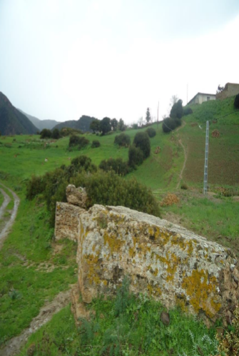
The site is bounded to the north by the Element Division.
From the south: Mount Sidi Bouras.
From the East: Element Division
From the west: Mount Lead.
Historically, the ancient book places the archaeological site “Arsonaria” at a distance of 3,000 m from the sea. The site in the time of Pomponius Mêla was a fortress for the purpose of protection from the revolts of the mountain tribes neighboring the area. Later it turned into a city enjoying all its rights and was called by the historian Pline The name Arsonaria. Finally mentioned by Ptolémée as a Roman colony – how it was indicated that it was the residence of Christian monks in (Siècle IV century AD); The monk Philon is considered the only one who knows Arsonaria, as his name is recorded as the number 95 in the bleak confession monks exiled in
Mauritanian Caesarea in 484 AD by King Hunéric for his hatred of religion.
Arsonia, like other African cities, consists of two centers:
1- A marine center represented by the port or port
2- A center located inland in the vicinity of the shrine of the good saint Sidi Bouras near Cap Magraoua, as the name of Arsonaria was mentioned in a rocky niche found on the outskirts of this place.