

Chlef is named after the wadi that irrigates its valley (Chinaleph Flvmen), the most important and inexhaustible river in Algeria. Its toponym will evolve over the centuries, becoming known as El Asnam and Orléansville.
The caves of Cape Ténès are the irrefutable proof of the presence of a prehistoric civilization at the level of the region.
The Phoenicians very early on opened a counter on the side of Ténès, as evidenced by the Phoenician cemetery still present in the region.
The Romans settled in the area for at least 05 centuries. The remains still visible bear witness to this, as is the case with the site of Arsenaria and the Roman city of Taougrit.
The first Muslims refused to settle on the site of the ancient Roman city, because of the many stone carvings. The 15th century saw the arrival of the Ouled Kosseir, a Djouads tribe (military nobility) said to be of Korachite origin (of the Beni Makhzoum) which became one of the most powerful and richest tribes in the Cheliff valley, at the point that it declared an “armed resistance”, in 1774, against the Bey of Oran for a story of taxes.
The Turks, with Barbarossa at their head, drove the Spaniards from Tenès in 1516. During the Turkish era, the region was divided between several administrative districts: Dar El Soltan for Ténès and the coast, Beylick du Titteri for the eastern part and the West Beylick for the rest.
After 1830, following fierce resistance led in the plains by Emir Abdelkader and worthily represented, in Dahra and Ouarsenis, by Cherif Mohamed Ben Abdellah dit Boumaaza, the region came under French occupation. Massacres of the population were perpetrated there by the French generals Saint Arnaud, Pelissier and Cavaignac, including the infamous smokes of the Dahra caves. In 1843, the French marshal Bugeaud set up a military camp there. Realizing the geostrategic location of the site, he decided to create a European settlement there, which he called Orléansville. During the national liberation revolution, the region of Chlef, which was part of wilaya IV, greatly contributed, through the sacrifice of its worthy sons, to the liberation of the country and to independence. The city will keep the name of El-Asnam until after independence. In 1980, it will resume its name of Chlef.
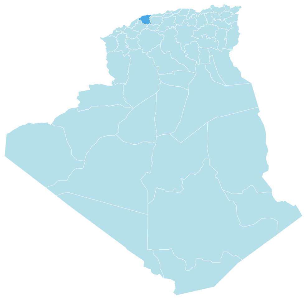
Area of Chlef is: 4791 km²
GEOGRAPHIC LOCATION
Landlocked between the Mediterranean Sea to the north, the wilayas of Tipaza and Aïn Defla to the east, Mostaganem to the west, Relizane and Tissemsilt to the south, the wilaya of Chlef, which covers an area of 4,791 km², occupies by its geographical location a strategic position which makes it a crossroads of exchanges, between the regions of the Center and the West as well as the Hauts Plateaux; conducive to its economic development and the promotion of multi-faceted tourism, given the strengths of this wilaya, endowed by nature with magnificent sites
PHYSICAL FRAMEWORK
The wilaya is formed by four geographic areas – The Mediterranean coast, extending over 129 km, – The Dahra chain to the north, – The Ouarsenis mountains to the south, – The Chélif valley between the two mountainous areas.
WEATHER
The wilaya is characterized by a sub-humid Mediterranean climate in the northern part and a continental climate in the south, cold in winter and hot in summer.
The wilaya of Chlef is divided into a set of municipalities and districts, as follows:
| Daira | MUNICIPALITIES |
|---|---|
| Chlef | Chlef – Sendjas – Oum Drou |
| Abou El Hassan | Abou El Hassan – Talassa – Tadjena |
| El Karimia | El Karimia – Harchoun – Beni Bouateb |
| Beni Haoua | Beni Haoua – Breira – Oued Goussine |
| Ouled Fares | Ouled Fares – Chettia – Labiod Medjadja |
| El Marsa | El Marsa – Moussadek |
| Taougrite | Taougrite – Dahra |
| Oued Fodda | Oued Fodda – Beni Rached – Ouled Abbes |
| Ténès | Ténès – Sidi Akkacha – Sidi Abderrahmane |
| Ouled Ben Abdelkader | Ouled Ben Abdelkader – El Hadjadj |
| Aïn Merane | Aïn Merane – Harenfa |
| Boukadir | Boukadir – Oued Sly – Sobha |
| Zeboudja | Zeboudja – Bénairia – Bouzeghaia |